
Delivering Solutions Using Enhanced Visualization


Pause
Discover how our 3D imaging technology can solve your project challenges
3D PhotoReal™
Technology
Technology
»
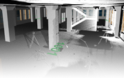
3D Laser
Scanning
Scanning
»
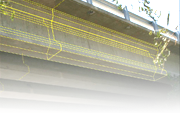
3D Architectural
Modeling/BIM
Modeling/BIM
»
Problem Solving
»
3D Modeling Technology Serving People and Industry !
At the forefront of innovation in precision visualization, we provide solutions utilizing 3D PhotoReal™ modeling, laser scanning, mapping, photogrammetry, and Building Information Modeling (BIM) technology precisely tailored for the client who values integrity, innovation, and dedication in a project partner. Our experience and mastery in integrating these and other technologies provide solutions in diverse industrial and private applications. Learn more >
Solutions Through Expanded Visualization
- Accident Investigation and Analysis
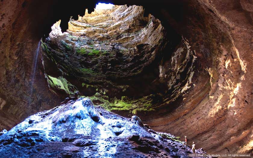
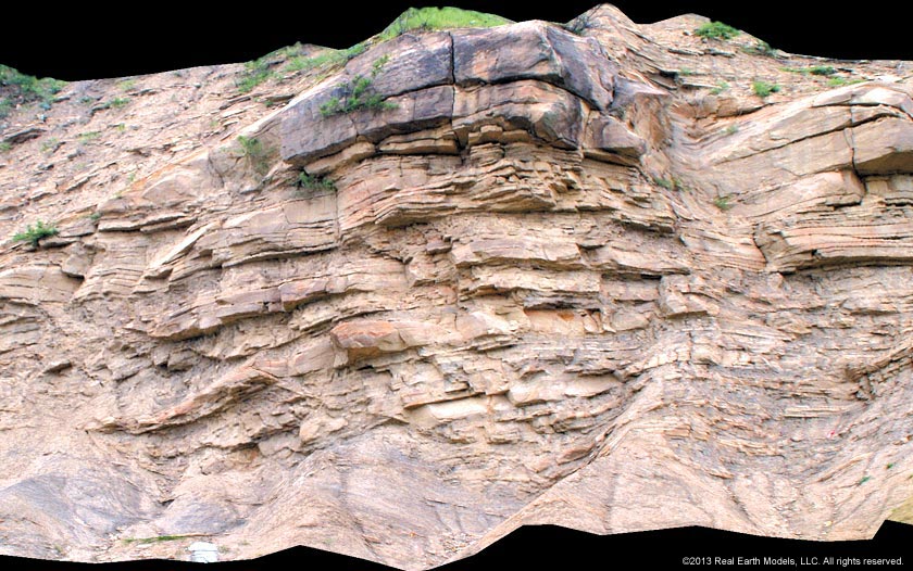
- Analysis of Mining-Related Geologic Formations
- Architecture, Engineering, and Construction
- Department of Defense
- Entertainment Industry
- Forensic Visualization
- Foundation Slippage and Erosion/ Landslide Measurement
- Geology
- Golf Course Environmental Planning
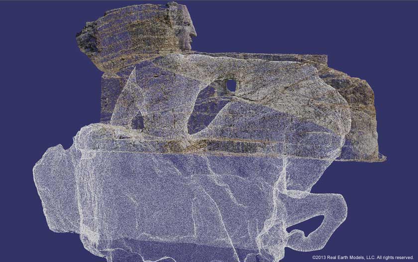
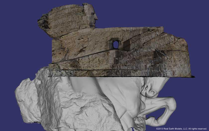
- Historical Preservation of Landmarks
- Infrastructure Maintenance and Upgrades
- Oil & Gas
- Rail Transport Derailments
- Security
- Support for Litigation and Testimony
- Video Gaming
- Virtual Museums
Find out how REM’s enhanced visualization technology can benefit your project Contact Us
Delivering Accurate Visualization Solutions to Serve Industry, Education, and Culture
Problem Solving
REM expands the science of 3D modeling enabling solutions to functional, natural, and design challenges.
Learn More >
Building Information Modeling (BIM)
Utilizing a variety of BIM tools, we generate 3D models that deliver accurate detail and documentation.
Learn More >

Historical Preservation
REM’s 3D architectural modeling products aid preservation of national monuments and architectural treasures of the built environment.
Learn More >

Oil & Gas
Our services provide pad site design improvement, wellhead location tracking, oil & gas trend monitoring, and virtual core library databases.
Learn More >

Geological Study
REM’s products enable comparison studies, volume measurement, monitoring of changes, & simultaneous research at multiple remote locations.
Learn More >
Real Earth Models, LLC
•
444 E. Dallas Rd., Suite #2139, Grapevine, TX 76051-1154
•
tel 214.707.9526
•
www.realearthmodels.com
©copyright 2012 - 2025 Real Earth Models, LLC
Home | About | Consulting / Services | Portfolio | Site Map
web site ©copyright 2012-2025 Real Earth Models, LLC
Problems viewing this web site?